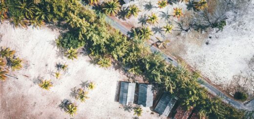
Connectivity Stack for Remote Madagascar: SIM + eSIM + Offline Backup
This post contains affiliate links. We may earn a small commission at no extra cost to you.

Essential Travel Gear for Your Madagascar Trip
Madagascar’s Power Cuts Will Kill Your Phone — Here’s 4 Full Charges of Insurance
Délestage — Madagascar’s rolling blackouts — can last 8 to 14 hours a day. Your navigation app, offline maps, and boarding pass for tomorrow’s Tsaradia flight will all be dead. The Anker PowerCore 20,000mAh gives 4 full phone charges with fast USB-C delivery. Charge it during the hotel’s morning power window and you’re covered all day.
Check current price and availability on Amazon →
Madagascar Uses European Plugs Only — Your North American Charger Won’t Work Without This
Madagascar runs on Type C and E/F European plugs, 220V. North American plugs don’t fit. The TESSAN European adapter accepts North American plugs and adds 2 USB ports, so you can charge your phone and power bank simultaneously from a single outlet. Compact, grounded — one of those items that’s obvious in hindsight and impossible to find when you need it.
Check current price and availability on Amazon →
One Adapter for Every Country on Your Madagascar Journey — Including Stopovers in Paris or Réunion
Many travellers reach Madagascar via Paris CDG or Réunion — and face a different outlet at each stop. The GaN Universal Adapter covers all outlet types worldwide with USB-C PD fast charging — one device, 4 ports, every country. GaN technology runs cooler and charges faster than standard adapters.
Check current price and availability on Amazon →
Tsaradia Domestic Flights Have a 15kg Bag Limit — And They Enforce It at the Gate
Getting between Madagascar’s national parks requires domestic flights on Tsaradia — and the 15kg checked baggage limit is strictly enforced at even remote airstrips. The Etekcity Digital Luggage Scale gives an accurate reading in 2 seconds, handles up to 50kg, and fits in any pocket. Weigh your bag the night before every domestic flight. Under $15, sold directly by Amazon.
Check current price and availability on Amazon →
Stop Losing Cables and Adapters in Your Bag Across Madagascar’s 10-Stop Itinerary
A multi-park Madagascar itinerary means packing and unpacking 10 to 15 times. USB-C cables, adapters, SD cards, earphones — every one ends up tangled at the bottom of your bag and easy to leave at a remote guesthouse. The BAGSMART Tech Organizer gives every cable and adapter its own slot. Open flat, find what you need in 5 seconds.
Check current price and availability on Amazon →
At a Glance
- Tier 1 (everywhere): Orange Madagascar SIM with 30 GB bundle — $6.60, covers all cities and RN corridors
- Tier 2 (backup data): eSIM from Airalo or Holafly — activates instantly if physical SIM fails
- Tier 3 (no signal): Downloaded offline maps (Maps.me or OsmAnd) + offline guide PDFs
- Tier 4 (true remote): Garmin inReach Mini 2 or SPOT Gen4 satellite communicator for SOS
- Park coverage reality: Andasibe has Orange 4G; Isalo has edge Orange signal; Bemaraha has zero signal
- Critical download: Get offline maps before leaving any city — no second chances on remote routes
- Travel insurance: SafetyWing pairs with satellite SOS as your emergency response layer from $1.82/day
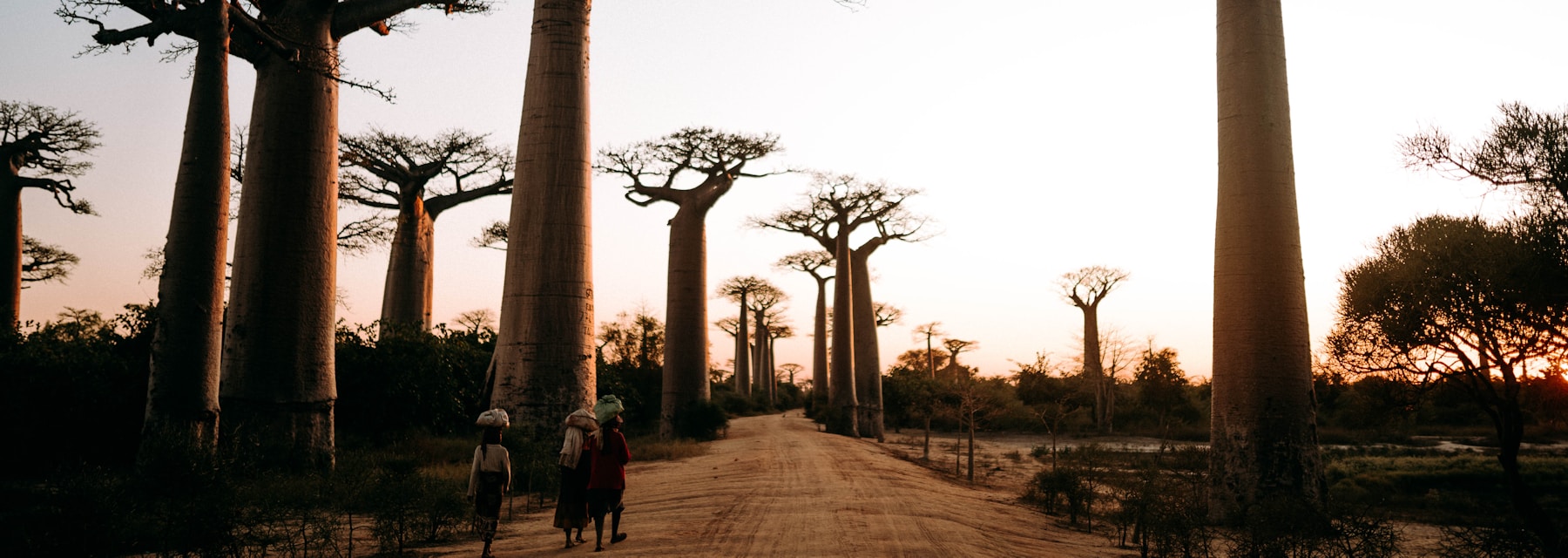
A single SIM card is sufficient for coastal and highland Madagascar. Remote routes — Bemaraha, Marojejy, Kirindy, the far south — require a layered approach where each tier in the stack serves a distinct coverage zone.
Plan your Madagascar trip:
Tier 1: Your Primary SIM — Orange vs Telma for Remote Coverage
The primary SIM is the foundation of any Madagascar connectivity stack. The operator choice matters significantly outside of major cities. Orange Madagascar has the widest rural coverage footprint of the three operators (Orange, Telma, Airtel). For travellers visiting national parks, remote beaches, and overland routes, Orange consistently outperforms Telma and Airtel beyond urban areas. Coverage strengths: RN7 corridor (most towns have 3G or 4G), Andasibe-Mantadia (strong 4G in park buffer zone), Nosy Be (excellent 4G across Hell-Ville and resort areas), Fort Dauphin and surrounding coast (3G, patchy 4G). Telma matches Orange in all major cities and on the RN2 to Toamasina — a viable primary SIM if your trip is city-and-coast only. Airtel trails both in rural coverage but has competitive urban data rates. Recommended configuration: Orange SIM as Tier 1. Register at Ivato on arrival with your passport. Buy the 30 GB/30-day bundle for 30,000 MGA ($6.60). This covers the first 30 days of almost any Madagascar trip. Check zone-by-zone coverage before any remote leg in our park-by-park coverage guide.
Tier 2: eSIM Backup — How to Configure a Failsafe Data Layer
An eSIM operating on a different network to your physical SIM provides a failsafe data layer that activates in seconds if your primary SIM fails — whether through network outage, SIM deactivation, or a dead zone where the physical carrier has no tower. How to set it up: Purchase an eSIM for Madagascar from Airalo ($9–18 for 3–10 GB depending on plan) or Holafly (unlimited data at throttled speed after 1 GB, ~$24 for 30 days). Download and activate the eSIM profile before leaving your home country — eSIM activation requires a stable WiFi connection and can be done at any time. On iPhone: Settings → Cellular → Add Data Plan. On Android (eSIM-capable): Settings → Network → SIM Manager → Add eSIM. Dual SIM management: Set Orange as your primary data SIM and leave the eSIM dormant. If Orange signal drops to zero, switch the eSIM to active in Settings — takes under 30 seconds. Important: eSIM networks for Madagascar typically roam on Orange or Airtel depending on provider agreements. Check which network your eSIM provider partners with before purchasing — you want a provider that roams on a different network to your physical SIM for true backup value. Device compatibility by model is covered in our phone unlock and eSIM guide.
Read also:
Save money on your Madagascar trip:
Tier 3: Offline Maps and Documents — What to Download Before You Go
Offline maps are not a backup to signal — they are the primary navigation tool for a significant portion of any Madagascar overland route. Even with signal, remote road data in Google Maps is frequently outdated. Maps.me: The standard recommendation for Madagascar. Download the full Madagascar map (approximately 900 MB) or individual regions. Maps.me includes road network, national park boundaries, village names, and points of interest crowd-sourced from OpenStreetMap. Works entirely offline once downloaded. OsmAnd: More complex interface but better offline routing and more granular elevation data — preferred by 4×4 drivers and hikers. Download via the app before departure. Google Maps offline: Limited offline functionality — download specific rectangular areas for major cities (Tana, Toamasina, Nosy Be) where you want detailed restaurant and hotel pins. Does not work for rural routing. Essential offline documents to download: Your hotel booking confirmations (PDF or screenshot). Your flight e-tickets. The park permit confirmation for any ANGAP-managed reserve. Emergency contact list with hotel phone numbers. Madagascar embassy contact for your nationality. Currency converter (works offline in most systems). Detailed offline navigation comparison: Maps.me vs Google vs OsmAnd guide.
Tier 4: Satellite Communication for True Remote Coverage
For routes into signal-absent zones — Tsingy de Bemaraha, Marojejy National Park, Kirindy Forest, the RN13 far south, or any boat crossing to remote islands — a satellite communicator is the responsible choice. Garmin inReach Mini 2: The most compact serious option. Two-way texting via Iridium satellite network (global coverage including Madagascar). SOS button triggers a response from the GEOS monitoring center. Subscription from $14.95/month (Freedom plan). Weight: 100g. Battery life: 14–30 days depending on tracking interval. SPOT Gen4: Budget satellite option at $150 device cost. One-way messaging only (cannot receive replies). SOS button included. Subscription from $11.95/month. Less reliable in dense canopy (Masoala forest). When satellite communication is mandatory: Any solo trek in Marojejy or Masoala. Boat crossings to Nosy Tanikely or remote Nosy Be islands in cyclone shoulder season. RN13 route from Ihosy to Toliara through the spiny forest south. Kirindy night safari with nocturnal walk in forest. Pair satellite communication with SafetyWing — the SOS button tells rescue where you are; SafetyWing covers the evacuation cost. See the full remote tech kit in our travel tech packing guide.
Ready to book your Madagascar trip?
Frequently Asked Questions
Do I need a satellite communicator for Madagascar?
Not for standard tourist routes. A satellite communicator is worth carrying if you are doing solo trekking in Marojejy or Masoala, driving remote southern routes (RN13), or taking boat trips to isolated islands in cyclone shoulder season. For Andasibe, Ranomafana, Nosy Be, and RN7 travel, a standard SIM is sufficient.
Can I use eSIM in Madagascar?
Yes, eSIM works in Madagascar via international roaming arrangements. Airalo and Holafly both offer Madagascar plans. eSIM activates on either Orange or Airtel depending on provider agreements. Requires an unlocked phone with eSIM hardware — iPhone XS and later, most flagship Android from 2019 onwards.
What offline map should I use for Madagascar?
Maps.me is the standard recommendation for general navigation, with OpenStreetMap-based road and village data. OsmAnd is better for 4×4 drivers and hikers who need elevation data and offline routing on unpaved tracks. Download before leaving any city — there are no download opportunities once you are on a remote route.
The right connectivity stack for Madagascar scales with how remote you are going: SIM for cities and main routes, eSIM as a failsafe, offline maps everywhere, satellite for genuinely remote zones. Plan the stack before you leave home — downloads, eSIM activation, and satellite subscriptions cannot be done reliably from the field. For the emergency layer, activate SafetyWing before departure so evacuation coverage is live from day one.
Flight delayed or cancelled? Flights to Madagascar often connect through Paris or Nairobi. EU regulation EC 261 may entitle you to up to €600 in compensation. Check your claim free on AirAdvisor →
Plan Your Trip to Madagascar
- Read the full Madagascar Travel Guide
- Explore itineraries by style and duration
- Explore the full destination guide
Where to Stay