Best Offline Apps for Madagascar Travel: Maps, Guides and Tools That Work Without Internet
This post contains affiliate links. We may earn a small commission at no extra cost to you.

At a Glance
- Best offline map: Maps.me (free, detailed Madagascar OSM data) or OsmAnd for trail navigation
- Language tool: Google Translate — download French and Malagasy offline packs
- Currency converter: XE Currency — download offline rates before departure
- Emergency SOS: Garmin inReach (satellite) — no cellular needed for SOS
- Travel insurance: Download your SafetyWing policy PDF before entering no-signal zones
- Car rental: Book with Carla before arrival — having a vehicle with a reliable driver matters more than data in remote areas
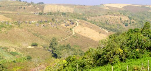
In Madagascar, offline capability is not a bonus feature — it is a baseline requirement for any itinerary that goes beyond Antananarivo. National parks have no WiFi, most rural roads have no 4G, and even 3G connections are patchy enough that relying on live map data will leave you stranded. This guide covers the essential apps to download, configure and test before you board.
Plan your Madagascar trip:
Offline Maps: The Non-Negotiable Download
Maps.me is the first app every Madagascar traveller should install. It uses OpenStreetMap data and provides downloadable country-level or region-level map packages. The Madagascar map file is approximately 350 MB — download it on WiFi at home or at your hotel before any rural leg of the journey. Maps.me shows roads, tracks, national park boundaries, villages and points of interest including many lodges and park entrances not visible on Google Maps.
OsmAnd is the better choice if you are doing serious trail hiking. Its routing engine handles foot tracks and can be configured with topographic overlays. The Madagascar data package is comparable in size to Maps.me. OsmAnd’s interface is more complex but it supports offline voice navigation — useful when driving on RN7 with your phone mounted on the dashboard.
Google Maps offline areas work for urban navigation in Antananarivo and coastal cities where Google coverage is detailed. Download areas by searching a city and tapping the offline download option. The limitation is that Google Maps’ rural Madagascar data is sparse — many tracks and village roads are missing. Use Maps.me for anything outside major cities.
Language and Translation Apps
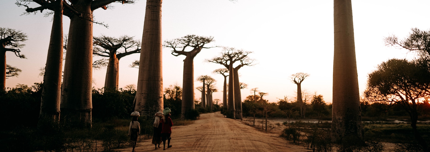
French is essential in Madagascar — most hotels, restaurants, tour operators and government offices communicate in French. Malagasy is spoken everywhere, including by people who speak no French in remote villages.
Google Translate with offline French and Malagasy language packs downloaded is the standard tool. The app’s camera translation feature (pointing your camera at a sign to translate it in real time) requires internet to function but works offline for typed input and voice input once the language pack is installed.
Key offline phrases to save as favourites before departure: ‘Firy ny vidiny?’ (How much does it cost?), ‘Aiza ny faritra…?’ (Where is…?), ‘Manana dokotera ve ianao?’ (Do you have a doctor?). Saving these as typed snippets in a notes app ensures access even if the translation app struggles with microphone input in noisy market environments.
Read also:
Save money on your Madagascar trip:
Currency, Budget and Travel Utility Apps
XE Currency allows you to cache exchange rates offline. Before entering areas without connectivity, open XE and the rates update for offline use. Madagascar’s ariary (MGA) conversion to euros and dollars matters daily — market vendors, taxi fares and guesthouse prices are all quoted in MGA and the mental arithmetic adds up.
Splitwise works fully offline for group expense tracking — useful for shared van hire or group park entry fees.
TripIt or any PDF reader is essential for storing your booking confirmations offline. Email confirmations are useless when you have no data; download PDFs of your hotel bookings, park entry permits, and internal flight confirmations to your device storage before departure.
For health information, CDC Traveler Health or IAMAT apps provide offline malaria zone maps and vaccination recommendations for Madagascar — download before you fly.
Emergency and Safety Apps
In a genuine emergency in Madagascar’s remote parks, a smartphone app is useless without signal. The real offline emergency tool is a dedicated satellite communicator. However, several apps are worth having configured even for urban or semi-rural emergencies.
What3Words divides the world into 3m x 3m squares, each with a unique three-word address. Even without internet, the app shows your current three-word location using GPS. This is invaluable for communicating your exact position to a rescue service or local guide — Malagasy emergency dispatchers increasingly recognise What3Words addresses.
First Aid (Red Cross app) works fully offline and provides step-by-step emergency medical guidance for injuries, allergic reactions, snake bites, and fever management. Download the English or French version before departure.
Before entering any no-signal zone, take a screenshot of: your accommodation address, your guide’s phone number, the nearest hospital location, and your travel insurance emergency line. A photo in your camera roll works without any app or internet.
Ready to book your Madagascar trip?
Frequently Asked Questions
How much storage space do offline maps for Madagascar require?
Maps.me Madagascar download is approximately 350 MB. OsmAnd’s Madagascar package is around 400 MB. If you add Google Maps offline areas for Antananarivo and Nosy Be, budget an additional 200–300 MB. Total offline map storage for a comprehensive Madagascar trip: approximately 700 MB to 1 GB.
Do offline apps work when my phone is in aeroplane mode?
Yes — offline maps, downloaded translation packs, cached exchange rates and saved PDFs all function in aeroplane mode. GPS positioning also works in aeroplane mode since GPS is a receive-only signal from satellites, not a cellular or WiFi function. Turn off WiFi and mobile data but leave GPS on.
Is there a Malagasy language pack available in Google Translate?
Yes. Malagasy (mg) is available as a downloadable offline language pack in Google Translate. Go to Settings > Offline translation > download Malagasy. The pack is small (under 50 MB) and enables typed and voice translation without internet. Accuracy is good for basic communication but less reliable for complex medical or legal phrases.
A properly prepared offline toolkit — Maps.me, Google Translate with Malagasy pack, XE Currency, your insurance PDF, and What3Words — costs nothing and takes under an hour to set up. It is the difference between confidently navigating a remote track and being helplessly lost.
Pair that offline toolkit with SafetyWing travel insurance and, for serious expeditions into zero-signal parks, a Garmin inReach satellite communicator. No app substitutes for satellite SOS capability in Marojejy or Masoala.
Flight delayed or cancelled? Flights to Madagascar often connect through Paris or Nairobi. EU regulation EC 261 may entitle you to up to €600 in compensation. Check your claim free on AirAdvisor →
Plan Your Trip to Madagascar
- Read the full Madagascar Travel Guide
- Explore itineraries by style and duration
- Explore the full destination guide
Where to Stay
Hotels, lodges, and tours fill fast for July–September — compare availability now.