Maps.me vs Google Offline vs OsmAnd for Madagascar: Best Option 2026
This post contains affiliate links. We may earn a small commission at no extra cost to you.
At a Glance
- Best for off-road 4WD: OsmAnd — most detailed track data, contours, turn-by-turn on dirt roads
- Best for general travel: Maps.me — simpler interface, solid OpenStreetMap data, fast offline search
- Best for cities: Google Maps offline — best POI data for Antananarivo restaurants, hotels, and businesses
- Download size (all of Madagascar): OsmAnd ~680 MB | Maps.me ~320 MB | Google offline ~variable by area
- Cost: Maps.me free | OsmAnd free (pro features $7.99/yr) | Google Maps free
- Critical rule: Download offline maps BEFORE leaving Wi-Fi — mobile data downloads are too slow
- Travel insurance: SafetyWing covers navigation-related incidents in remote areas
- World Nomads — covers adventure activities: trekking, diving, motorbikes. Compare both.
All three apps use high-quality map data for Madagascar’s urban areas, but diverge dramatically once you leave paved roads. The wrong choice for off-road navigation can put you on a track that your vehicle cannot handle — or worse, leave you with no map data at all in an area with zero signal.
Plan your Madagascar trip:
Map Data Quality: How Each App Covers Madagascar
All three apps draw primarily from OpenStreetMap (OSM) data for their offline maps — the difference is how they process, supplement, and present it. OsmAnd uses raw OSM data with minimal filtering, which means Madagascar’s extensive community-mapped trail network, village tracks, and 4WD-only routes are visible and navigable. It also layers in SRTM elevation contours, which are critical when assessing whether a mountain track is drivable. The Madagascar OSM dataset has been significantly expanded by overland overlanders and humanitarian mapping projects — coverage of the interior is better than you might expect. Maps.me uses a curated subset of OSM data with its own rendering. The result is a cleaner, more readable map that sacrifices some granular detail. It excels at named points of interest — the Maps.me Madagascar database includes most guesthouses, restaurants, fuel stations, and park entrances that appear in OSM. Its offline search is fast and accurate for named locations. Google Maps offline blends OSM, its own business data, satellite imagery references, and user-contributed updates. In urban areas, Google’s business listing data is far superior to OSM-only apps — you will find current operating hours, phone numbers, and user photos for Antananarivo restaurants that Maps.me and OsmAnd simply do not have. See our road conditions guide for which areas have the most reliable mapping data.
Offline Feature Comparison: Routing, Search, and Navigation
The navigation feature set differs significantly between apps in offline mode. OsmAnd offline capabilities: Full turn-by-turn routing on all road types including unpaved tracks; configurable routing profiles (4WD, hiking, bicycle); offline search by name, address, or POI category; downloadable Wikipedia layers for points of interest; trip recording in GPX format (invaluable for retracing your route if lost); motorised boat routing for river navigation. OsmAnd’s routing engine handles Madagascar’s dirt roads better than any competitor because it does not downgrade unpaved roads to second-class routes. Maps.me offline capabilities: Good turn-by-turn on main and secondary roads; search by name fast and reliable; bookmark and route sharing works offline; Wikipedia integration. Maps.me routing occasionally fails on very minor tracks — it may refuse to route where a road exists in OSM if the classification is uncertain. Google Maps offline: Downloaded areas support turn-by-turn on paved roads and known routes; offline search within the downloaded area; cached business details. Google does not support track-level routing offline — if your route leaves a mapped road, Google will say it cannot calculate directions. This is a fundamental limitation for Madagascar off-road use. Combine Google offline for cities with OsmAnd for the countryside. Our 4WD rental guide explains which routes require off-road mapping capability.
Read also:
City Performance vs Rural Performance
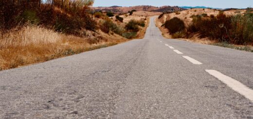
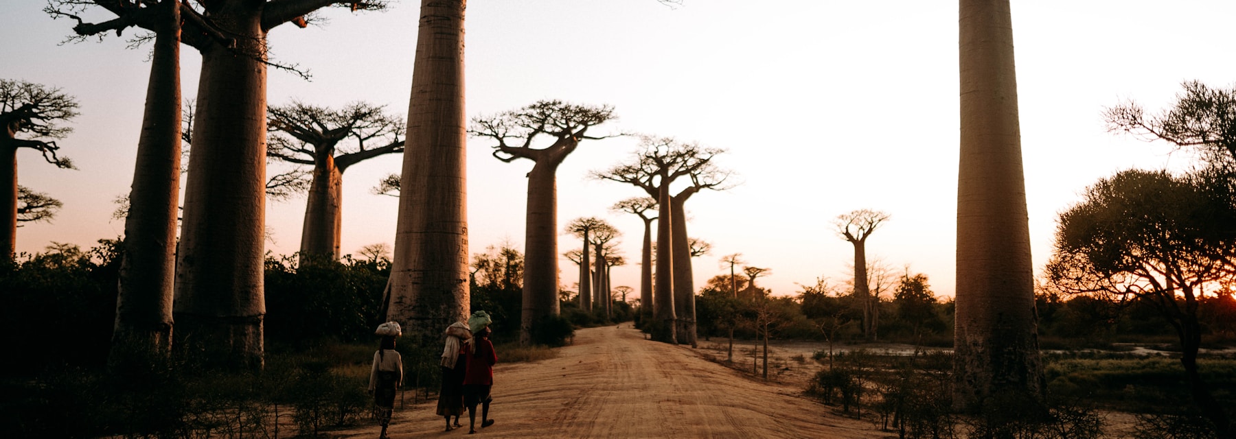
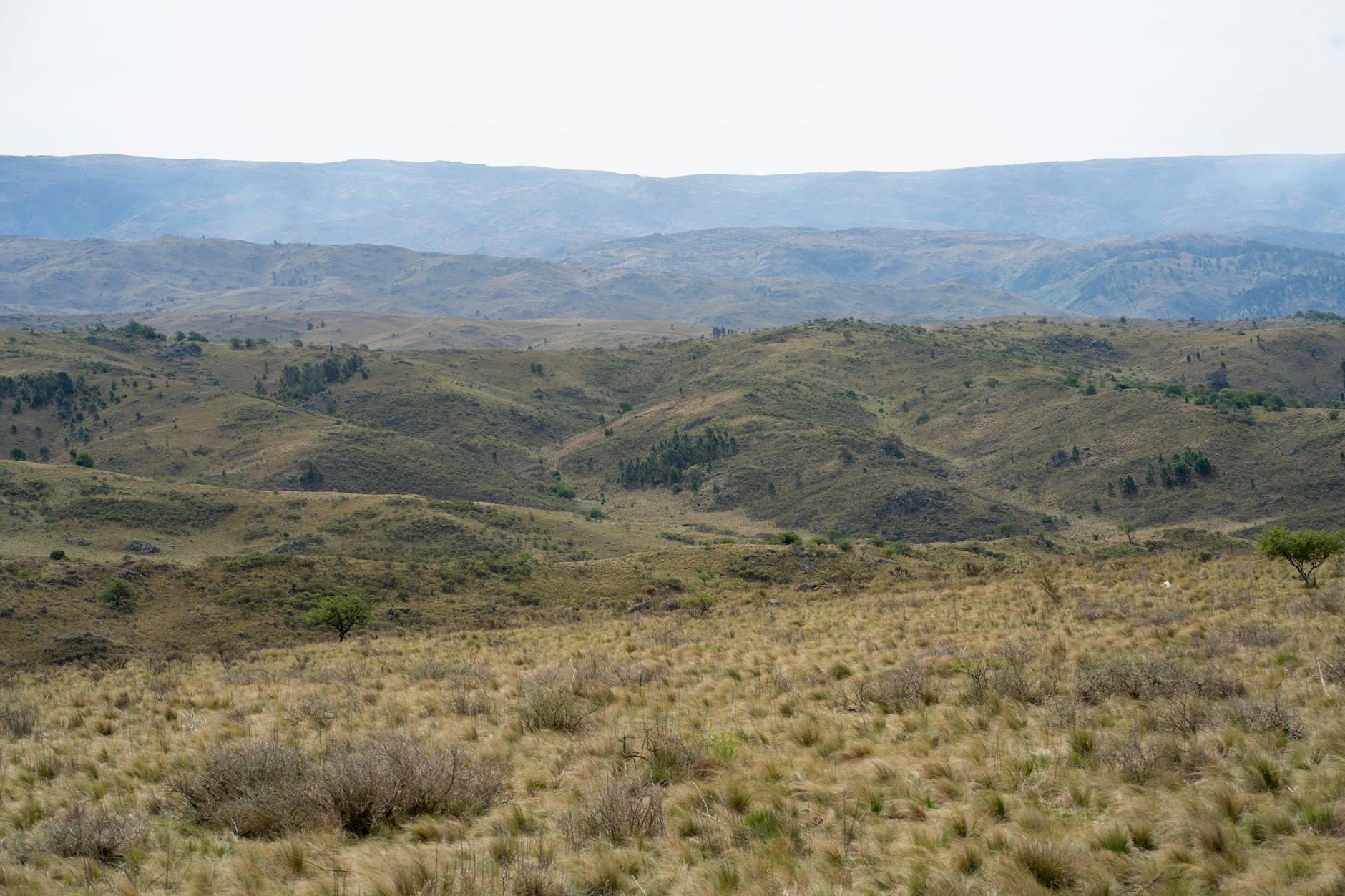
Urban and rural Madagascar present opposite challenges for mapping apps. Antananarivo (urban performance): Google Maps leads clearly. Its business listing data for Antananarivo covers hundreds of restaurants, hotels, pharmacies, banks, and services — with photos, hours, and phone numbers. Navigating the capital’s complex one-way system and hillside neighbourhoods is best done with Google. Maps.me is adequate for major landmarks and hotels. OsmAnd’s detailed base map is accurate but the POI database for Antananarivo businesses is thinner. Rural Madagascar (remote performance): OsmAnd wins without contest. Its coverage of track roads, river crossings, park boundaries, and remote village paths is unmatched by the other two. The elevation contour layer is irreplaceable when deciding whether a mountain pass is negotiable. Maps.me performs adequately on secondary roads but loses detail on minor tracks. Google Maps should not be relied upon for navigation once you leave paved national roads — it frequently shows roads that end at village boundaries or are marked incorrectly. National parks: OsmAnd’s trail data within parks like Isalo, Ranomafana, and Andringitra is mapped by trekkers and is more accurate than any commercial alternative. Download the relevant OsmAnd region before entering any park. See our network coverage guide for connectivity planning alongside your offline map strategy.
Which App to Use for Which Trip Type
The correct answer is not one app but a strategic combination based on your itinerary. City-focused itinerary (Antananarivo base, day trips): Google Maps offline for your downloaded zone + Maps.me for the day trip areas. No need for OsmAnd. RN7 road trip (Antananarivo to Toliara with stops): Download both Maps.me (for towns and stops along the route) and OsmAnd (for the route itself and any side tracks). The RN7 is well-mapped in both but OsmAnd gives better elevation data and off-route track options. Off-road 4WD adventure (RN13, Tsingy approach tracks, Makay): OsmAnd exclusively. Download the full Madagascar region plus enable the elevation layer. Bring a portable charger as OsmAnd’s active GPS routing drains battery faster than the other apps. Island travel (Nosy Be, Sainte-Marie): Maps.me has excellent island-level detail and is lighter on your device. Download the specific island region, not all of Madagascar. Before any trip: Download your maps on hotel or home Wi-Fi. The full Madagascar OsmAnd download is 680 MB — on mobile data at Malagasy speeds, that could take 30–60 minutes. Google Maps offline area downloads are capped at a certain geographic size and must be refreshed every 30 days. SafetyWing provides emergency support even when your navigation fails in remote areas.
Ready to book your Madagascar trip?
Frequently Asked Questions
Do I need to pay for OsmAnd to use it in Madagascar?
No. The free version of OsmAnd allows downloading a set number of map regions (10 in the free version, unlimited with OsmAnd+). Madagascar fits in one regional download. All core navigation features including turn-by-turn routing, offline search, and GPX tracking are free. The paid version adds contour lines and hillshading, which are worth having for off-road use.
Can Google Maps navigate on dirt roads in Madagascar?
Partially. Google Maps offline can route on named dirt roads that are classified in its database. However, it will not route on unclassified tracks, will not calculate 4WD-specific routes, and does not show elevation data. For any serious off-road navigation, use OsmAnd.
How much storage space do I need for offline maps of Madagascar?
Plan for approximately 1–1.5 GB if you install both OsmAnd (680 MB for full Madagascar) and Maps.me (320 MB). Google Maps offline areas are smaller per region but refresh-delete after 30 days and must be re-downloaded. Ensure your device has at least 2 GB free storage before starting downloads.
The definitive answer for Madagascar: install OsmAnd for off-road and rural navigation, Maps.me for general island and secondary road use, and keep Google Maps for urban restaurant and hotel lookups. All three together use under 1.5 GB and give you complete coverage regardless of signal. Whatever your navigation setup, keep an emergency plan in place: get SafetyWing before your trip — a dead phone and a wrong turn in the Madagascar interior is a situation where travel insurance becomes a very practical concern.
Start planning your Madagascar adventure today
Browse Madagascar experiences on GetYourGuide
Affiliate link – commission earned at no extra cost to you.
Plan Your Trip to Madagascar
- Read the full Madagascar Travel Guide
- Explore itineraries by style and duration
- Explore the full destination guide
Where to Stay