Which Madagascar Roads Flood in Cyclone Season 2026: Route-by-Route Risk Guide
This post contains affiliate links. We may earn a small commission at no extra cost to you.
At a Glance
- Worst: RN5 north of Maroantsetra and Morondava-Bekopaka (Tsingy access) — essentially impassable Dec-Mar
- High risk: RN5A Tana to Soanierana-Ivongo (ferry to Sainte-Marie) — multi-day closures common
- Moderate risk: RN7 sections through Behenjy, Antanifotsy — 6 to 24 hour closures during heavy rain
- Low risk: RN1 Tana to Tsiroanomandidy, RN6 Tana to Antsiranana via highlands
- Best in-country resource: Local driver-guides know current road conditions
- 4WD rentals: Compare options on Carla
- Tours that handle road logistics: Browse on GetYourGuide
- Trip disruption insurance: SafetyWing covers weather-driven delays
Madagascar’s road network is more vulnerable to seasonal flooding than most travelers anticipate. Even paved sections of RN7 can be temporarily cut by intense rainfall; unpaved 4WD-only routes like Morondava-Bekopaka close entirely for months. This guide identifies every major travel route’s flood risk profile across the November-April rainy season window, so you can build itineraries that avoid the worst-affected corridors.
Western Routes — Morondava, Tsingy, Mahajanga
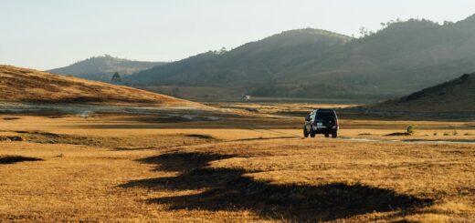
Morondava-Bekopaka (Tsingy de Bemaraha access): The 200-km unpaved route is impassable December through March in most years. The Manambolo River crossing requires water levels low enough for the ferry to operate safely; rainy season runoff makes the route both physically unsafe and operationally suspended. Tsingy reopens in April when waters recede; full access typically by late April. Morondava-Belo-sur-Tsiribihina: Less extreme than the Bekopaka extension but still 4WD-only and flood-vulnerable during rainy season — December through early April closures of 5 to 14 days at a time are typical.
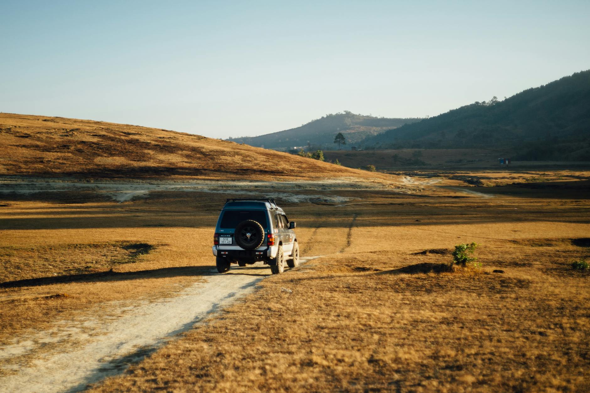
Mahajanga area (RN4 northbound): The route from Tana to Mahajanga is largely paved and remains operational through cyclone season, though the Betsiboka River crossing near Ambato-Boeny can be cut briefly by major rain events. Mahajanga to Ankarafantsika: The 130 km southeast to the national park entrance is paved and generally reliable; the secondary road from Ankarafantsika to Antsohihy area is rougher and 4WD-recommended in any season. Compare 4WD rentals on Carla for any cyclone-season west coast itinerary.
East Coast Routes — The Most Affected Corridor
The east coast routes are the most flood-vulnerable in Madagascar. RN5A Tana to Soanierana-Ivongo (the access route for the Sainte-Marie ferry) traverses 350 km of varied terrain with multiple river crossings. Sections near Anjozorobe and Andilamena flood readily during heavy rain; multi-day closures of 3 to 7 days are common during major cyclone events. The ferry from Soanierana-Ivongo to Sainte-Marie also suspends operations during high seas, making east coast access doubly compromised in rainy season.
RN5 from Toamasina north to Maroantsetra: Even in dry season this is one of Madagascar’s most difficult roads — single-lane unpaved with multiple river crossings. December through April, the route is essentially impassable. Boat or flight is the only realistic access to Masoala peninsula. Toamasina city access: The paved RN2 from Tana to Toamasina remains generally operational through cyclone season but flooding around Brickaville and Andilamena can cause 12 to 36 hour delays. Pangalanes Canal travel is by boat and is the more reliable east coast logistics option during rainy season. Browse Pangalanes Canal tours on GetYourGuide as the cyclone-season-compatible east coast alternative.
RN7 Corridor — The Most Reliable Long-Distance Route
The RN7 from Antananarivo south to Toliara (1,000 km) is Madagascar’s premier paved long-distance corridor and remains the most reliable major route through cyclone season. Most of its length operates normally year-round. The flood-vulnerable sections: the Behenjy area south of Tana (occasional 6 to 12 hour closures), Antanifotsy near Antsirabe (similar profile), the Ihosy section in the south (rare closures but 24+ hours when affected), and the final Sakaraha-Toliara segment (improved in 2025 paving but still vulnerable to extreme events).
For travelers planning RN7 trips during November-April, build 1 to 2 days of buffer into any time-sensitive itinerary. Avoid driving during active heavy rain periods — wait 6 to 12 hours for water to recede before proceeding through vulnerable segments. Most experienced driver-guides will refuse to drive certain sections during active rainfall, which is appropriate safety. The detour options from Tana south are limited; if RN7 is cut, alternative routes are very lengthy. Plan a flexible itinerary that can absorb 1 to 2 days of delay without missing key bookings (flights, ferry departures). Compare RN7 corridor hotels on Agoda for flexible-booking options.
Northern and Highland Routes — Generally Reliable
The RN6 from Tana to Antsiranana (Diego Suarez) and onward to Ambanja for Nosy Be ferry access is paved most of the way and generally reliable through cyclone season. The Tana-Mahajanga RN4 axis is also paved and reliable. The Ambanja-Ankify ferry to Nosy Be operates year-round but is sea-state dependent — rough seas during cyclone passages can suspend service for 24 to 72 hours. Flying Tana-Nosy Be (Madagascar Airlines) is generally more reliable than ferry-and-road combination in cyclone season.
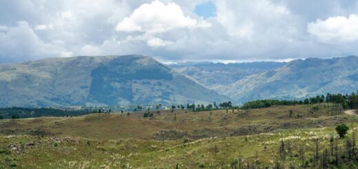
Highland routes between Tana, Antsirabe, Fianarantsoa, Ambositra: All paved RN7 or RN35 segments. Very low flood risk — afternoon rain disrupts but does not close these routes. The highland geography (elevation 1,000+ meters) sheds water effectively. RN1 Tana to Tsiroanomandidy: Generally reliable paved road, low flood risk. RN13 from Ihosy to Fort Dauphin: 4WD-essential year-round; cyclone season adds flood risk to existing rough-road challenges. Plan Fort Dauphin overland only in dry season May-October. Confirm 4WD spec on Carla for any RN13 itinerary regardless of season.
Travelers managing diabetes or other chronic conditions should pack a multi-day buffer of medication and monitoring supplies — cyclone-related road closures can extend trips by 3 to 5 days with limited pharmacy access in remote regions. Sinocare ships glucose monitors and CGMs worldwide.
Frequently Asked Questions
What is the absolute worst Madagascar road in cyclone season?
RN5 from Toamasina north to Maroantsetra. Even in dry season this is one of the country’s most difficult routes; December through April it is essentially impassable. The only realistic access to Masoala peninsula in rainy season is by boat or charter flight.
Can I drive RN7 myself during cyclone season?
Yes for most sections, with 4WD recommended and buffer days in the itinerary. Avoid driving during active heavy rain — wait 6 to 12 hours for water to recede. The Behenjy and Antanifotsy sections are the highest-risk for unexpected closure during November-April.
How do local driver-guides handle road conditions?
They check route conditions daily via informal radio networks and contacts at gendarmerie posts along major routes. Reputable driver-guides will refuse to drive flood-affected sections and reroute or wait. This local knowledge is one of the value-adds of hiring a senior driver versus driving yourself.
Does insurance cover trip delays from road flooding?
SafetyWing’s Nomad Insurance Complete and World Nomads Explorer plans cover weather-driven trip interruption costs (extra accommodation, missed flights with documented reason). Submit insurance claim with weather service confirmation (Meteo Madagascar reports) and gendarmerie or driver-guide statements. Confirm coverage details before relying on it.
Madagascar’s road network rewards travelers who research routes before committing to itineraries. The west coast Tsingy access and the east coast north of Toamasina are essentially closed December through March; the RN7 highland corridor remains workable with buffer time built in; the paved RN6 and RN4 to the north are generally reliable. Plan rainy-season trips around the resilient routes and skip the high-risk corridors. Before travel, activate SafetyWing cover from 1.82 USD per day — weather-driven road closures and missed flights are covered when documented properly.
Travel Insurance for Madagascar
Medical evacuation from Madagascar costs $30,000–$80,000. Don’t travel without cover.
- SafetyWing — Best for budget travelers and long stays. From $1.82/day.
- World Nomads — Best for adventure activities: trekking, diving, motorbikes.
Plan Your Trip to Madagascar
- Read the full Madagascar Travel Guide
- Explore itineraries by style and duration
- Explore the full destination guide
Where to Stay